


_0001.jpg)
.jpg)


.jpg)

.jpg)


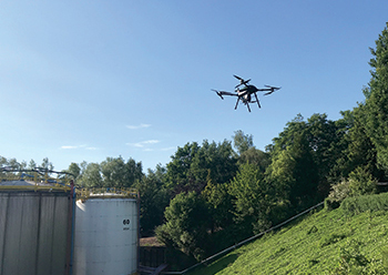
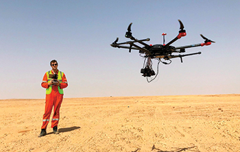
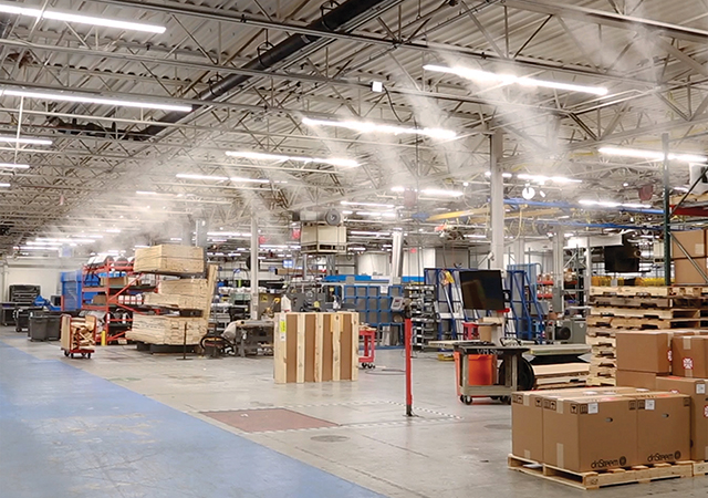
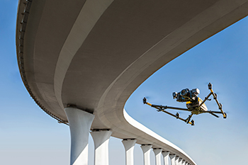 Falcon drones by Topcon deploy Bentley’s ContextCapture.
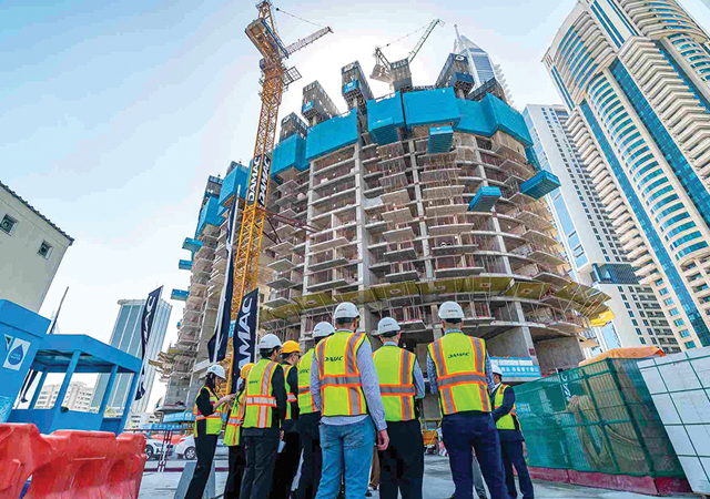
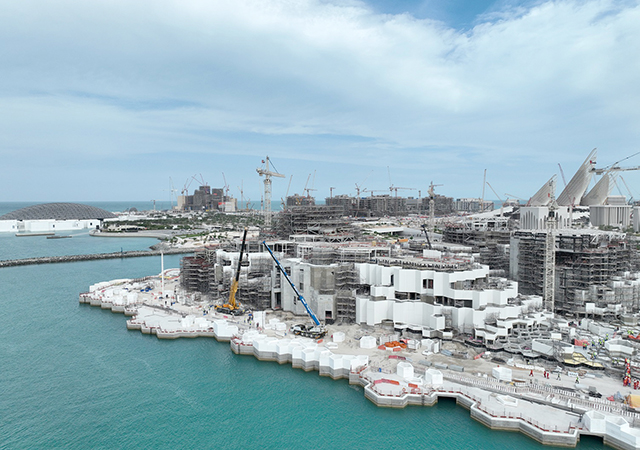
Reality modelling solutions by Bentley Systems, a global leader in software for advancing infrastructure, are providing innovative ways to maximise the value of raw data captured using drones.
Bentley’s ContextCapture reality modelling software can quickly produce 3D reality meshes of existing conditions for infrastructure projects of all types, derived from simple photographs and/or point cloud, Chintana Herrin, senior manager, product marketing, Digital Cities, Bentley Systems tells ABDULAZIZ KHATTAK of Gulf Construction magazine.
According to Herrin, drones are capturing an ever-increasing amount of data around infrastructure assets. “And while this data can be used for inspection of assets, providing a better understanding of the existing conditions and documenting the evolution of a worksite, there are many challenges to managing, processing, analysing, and sharing the data in a secured and efficient way,” she says.
Given the substantial amount of data to be processed, cloud-based solutions are an answer because of their endless processing power, Herrin continues.
She elaborates: “Cloud processing services enable the creation of 3D reality models in a fraction of the time and cloud-based data management services provide instant access to all stakeholders, allowing them to be digitally connected to the asset in near real-time.
“From anywhere in the world, 3D reality models provide powerful capabilities to visualise, analyse, and collaborate over assets.”
Moreover, cloud-based machine learning technologies together with reality modelling solutions allow for further analytics, automatic detection of elements within an asset, and speed workflows by replacing tedious manual work for inspection and asset management.
“ContextCapture is offered as both on-premises and cloud service solutions and can be used to process drone data. Once processed, the 3D models and reality data can be securely managed, stored, and streamed using ContextShare for consumption of the reality modelling information in design, analytical, and construction modeling workflows,” Herrin explains.
In this regard, Bentley has a strategic partnership with Topcon Positioning Group, a leading company in positioning instruments for survey and construction and drone expertise, to connect cloud services for constructioneering.
In May this year, Topcon added new cloud-based photogrammetry processing powered by ContextCapture to its Magnet Collage Web web-based service for publication, sharing, and analysis of reality capture data. The built-in service enables operators to upload unmanned aerial vehicle (UAV) imagery direct-to-web without the need for high-end hardware requirements or IT constraints.
Meanwhile, Topcon last month released its next-generation flight-planning system for its rotary-wing drones. The new Intel Mission Control Software is designed to facilitate automated flight planning, managing missions and data handling for the Intel Falcon 8+ drone – Topcon Edition. The software is designed to increase accuracy with advanced mapping features that allow operators to easily set project parameters and prepare missions using presets for 2D areas as well as 3D structures.
Commenting on the market for such technologies, Herrin says she sees an increased adoption of reality modelling in the infrastructure industry by the recorded numbers of submissions in all industry categories for the ‘Year in Infrastructure’ (YII) Awards conducted by Bentley Systems annually.
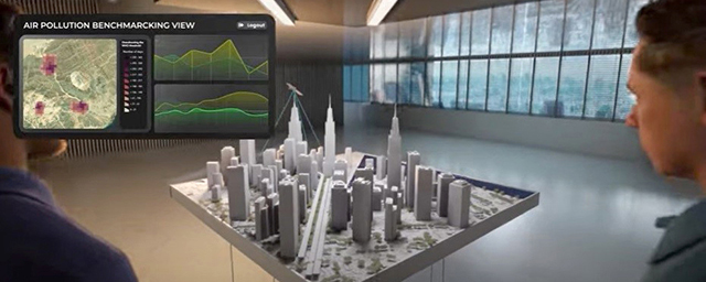
“Using reality modelling solutions, a representation of any infrastructure asset’s physical reality can be reliably captured and maintained through increasingly continuous surveys, providing real-world digital context in the form of ‘reality meshes’.
“Overlapping photographs and (as needed) supplemental laser scans, largely from drones and ground-level imagery, are processed to generate spatially-classified and engineering-ready reality meshes at any desired level of accuracy – within which each digital component can be automatically recognised and/or geospatially referenced,” she adds.
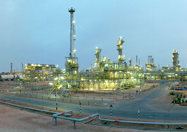
A company that earned special recognition from Bentley is the US-based Eye-bot Aerial Solutions for its ongoing work with Shell Chemical Appalachia and the construction of a multi-billion-dollar world-scale ethane cracking plant to produce polyethylene in western Pennsylvania.
Using Bentley’s ContextCapture, Eye-bot – which uses drones to observe and collect on-site data – captured over 8,000 images on a weekly basis and processed them as 2D and 3D deliverables within the required 72-hour window. The area of operation was close to 182 hectares.
“The high-speed processing engines of ContextCapture produced a dimensionally accurate 3D reality mesh, enabling the identification and resolution of potential construction problems before they impact operations on site. The 3D reality mesh models are expected to facilitate inventory visualisation and improve emergency response management,” Eye-bot founder and president Jake Lydick said in a report by Commercial UAV News.